

Pea Ridge National Military Park
About
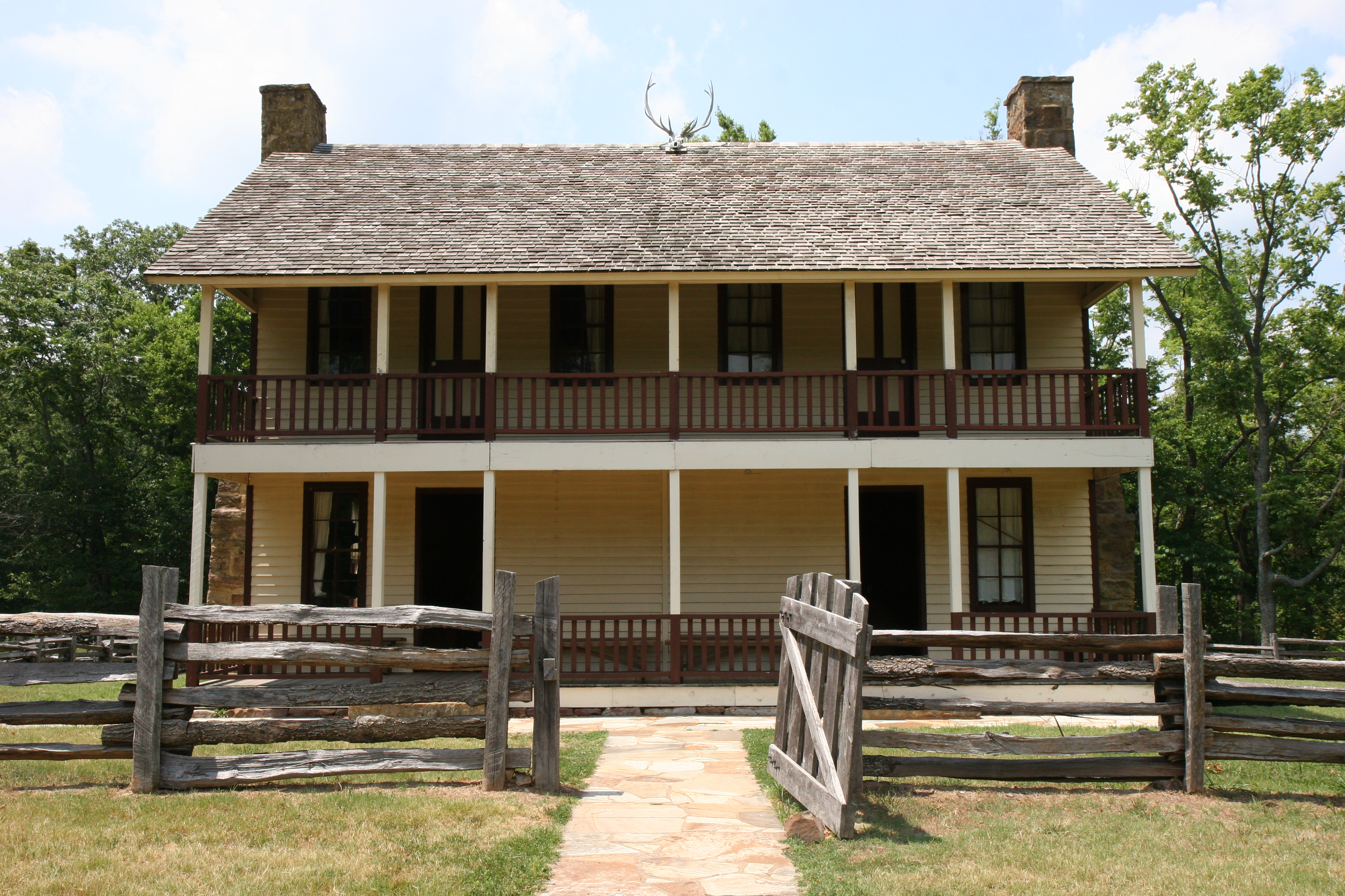
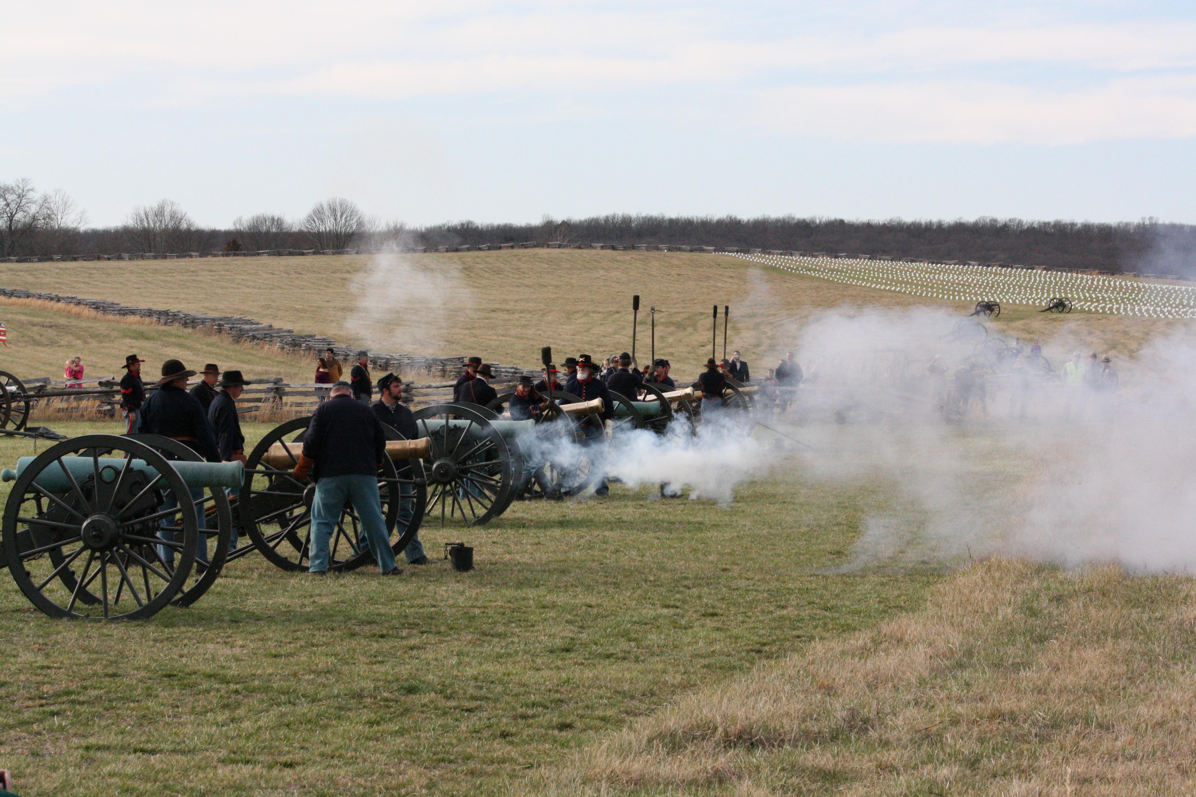
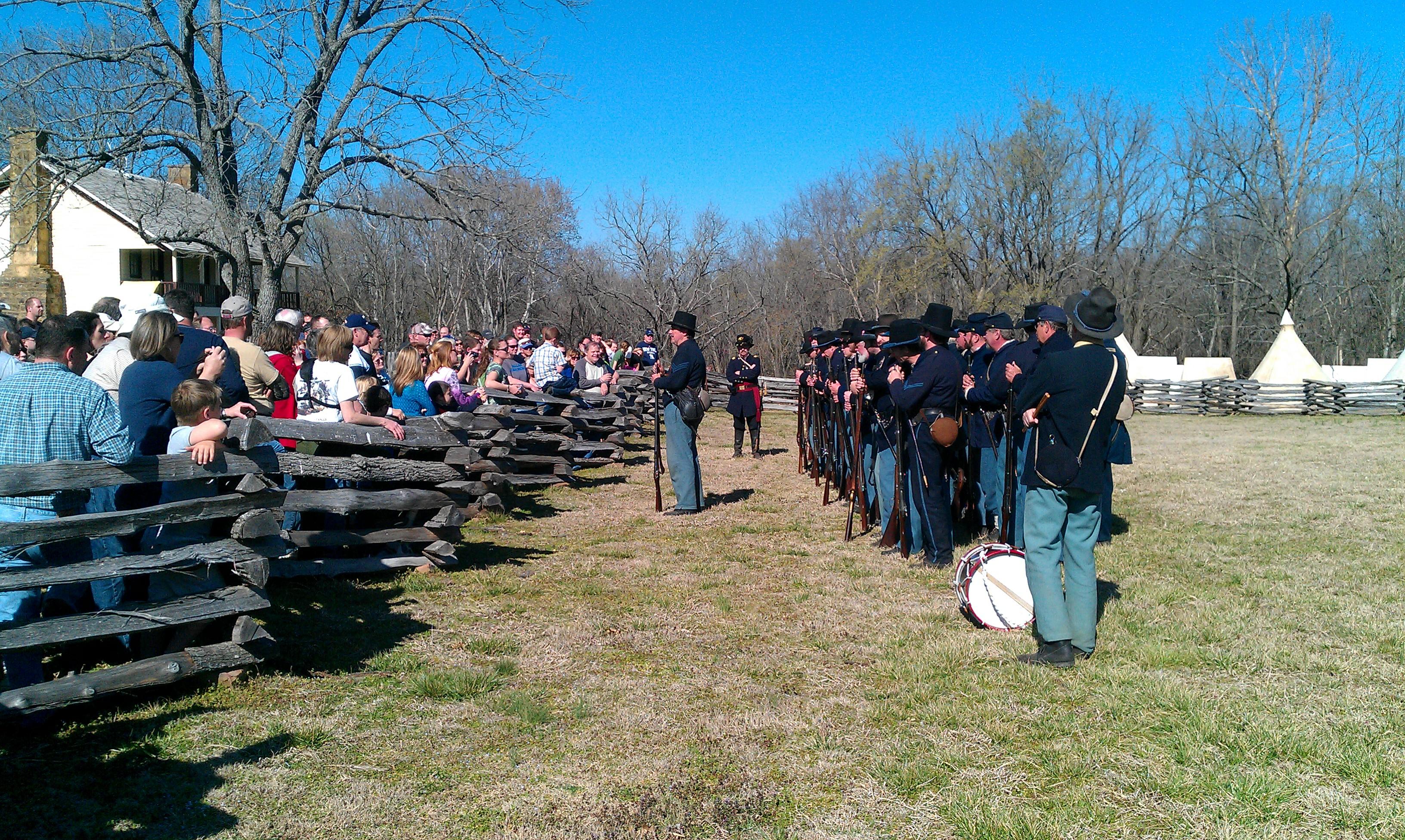
On March 7-8, 1862, over 23,000 soldiers fought here to decide the fate of Missouri which was a turning point of the war in the Trans-Mississippi. This 4,400-acre battlefield honors those who fought and died on these hallowed grounds. Pea Ridge was the most pivotal Civil War battle west of the Mississippi River.
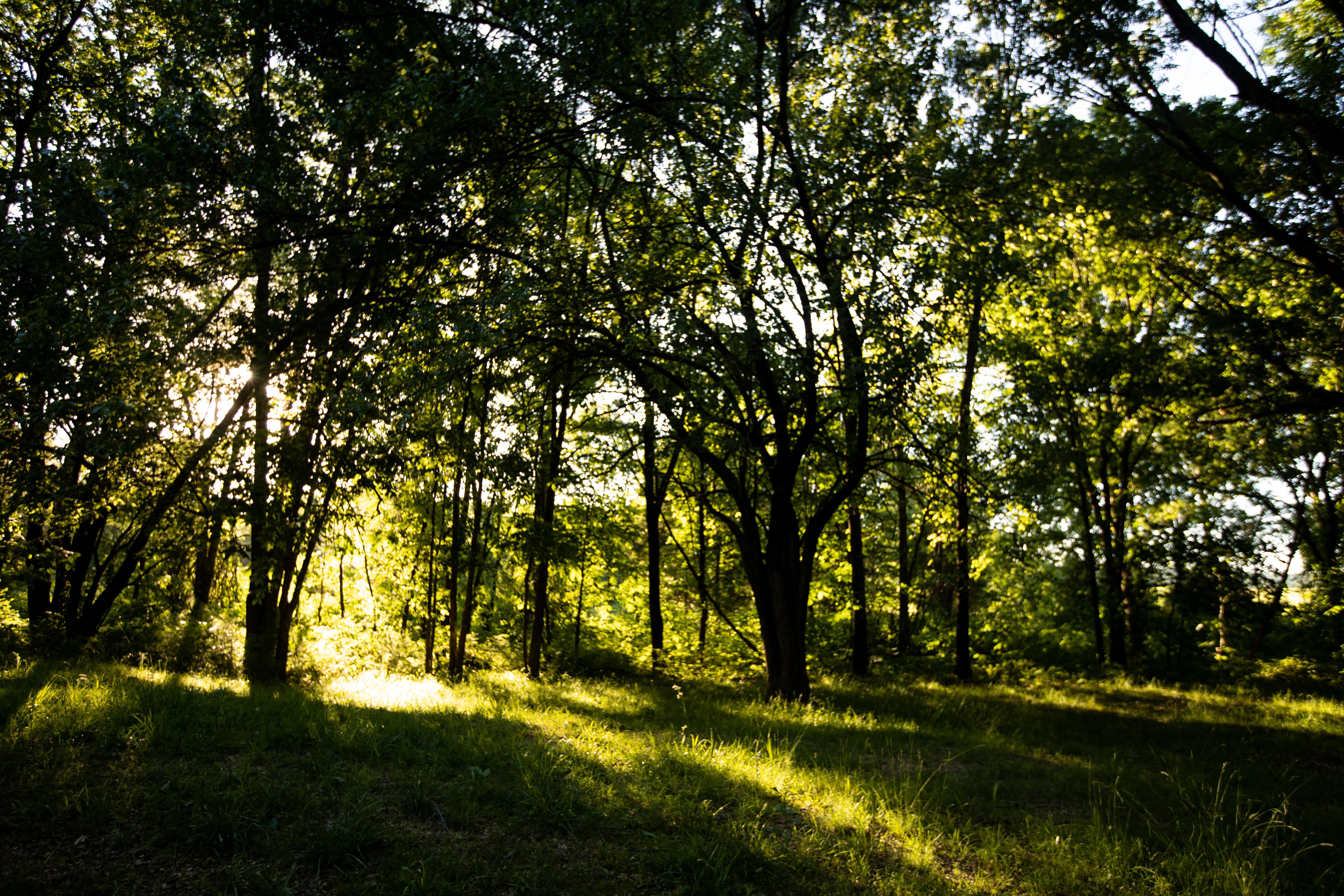
Read more on NPS.govPea Ridge National Military Park is located in the northwestern part of the state and is on a part of the Ozark Plateau. The climate is hot and humid in the summers, has mild temperatures in the fall, and drier and cooler temperatures in the winter. During the spring and summer, active thunderstorms can pop up. During the winter months, the wind chill factor can make the temperature feel much colder than the air temperature. The winters can be cold with some snow and ice.
The entrance road is located on Highway 62, 1.3 miles east of the intersection of Highways 62 and 72. As one is driving along highway 62, watch for the brown road signs directing one to the entrance road to the park's visitor center.